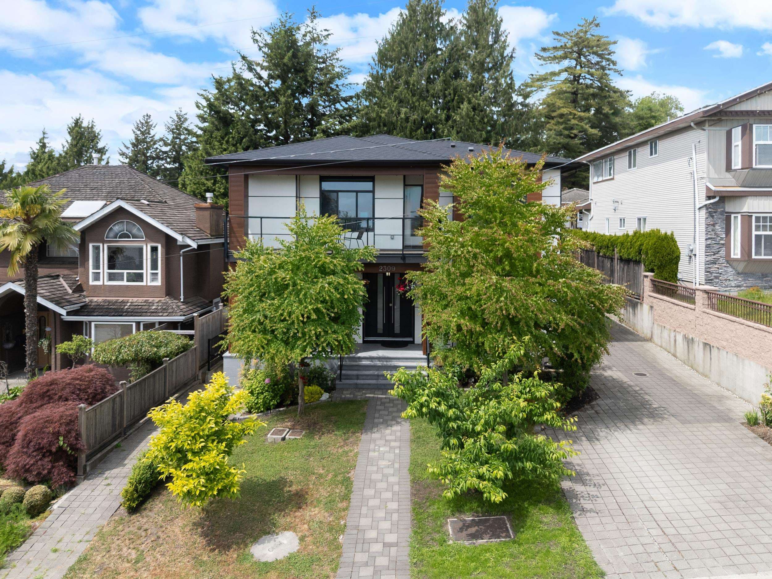
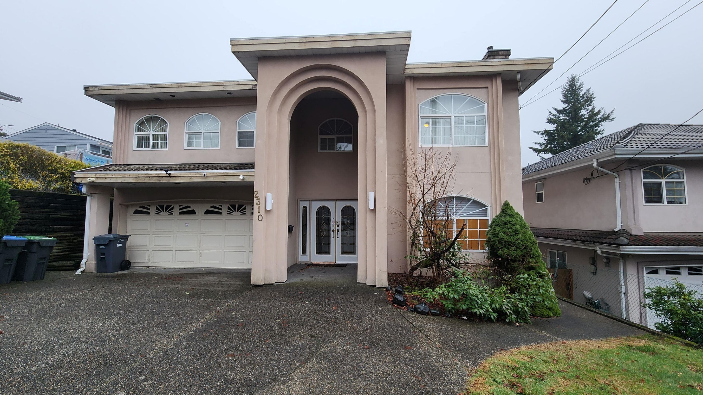
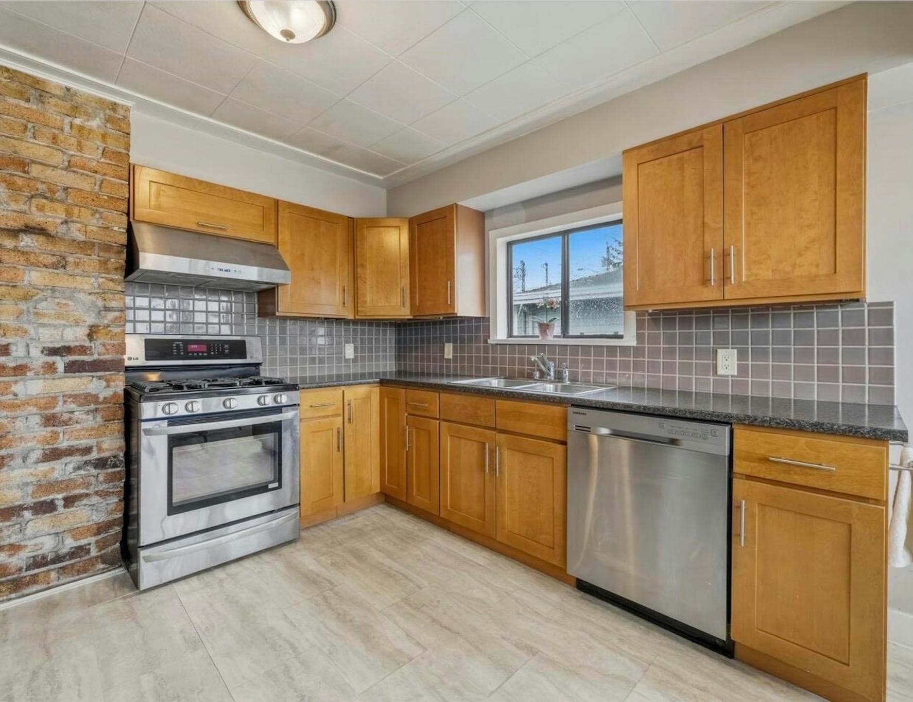
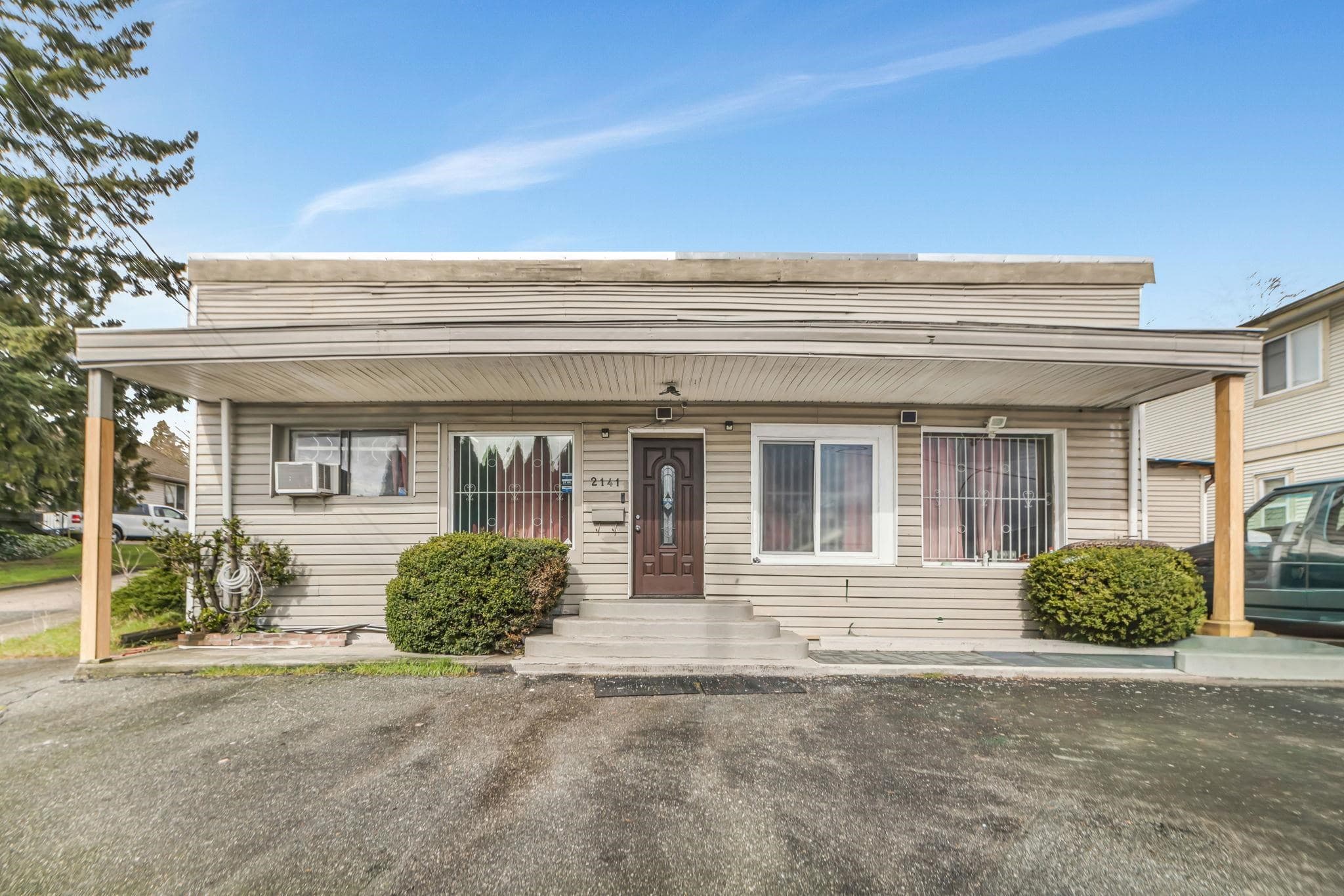
+11 more
$5,000,000
Listed by: eXp Realty · MLS®
Developer & Investor Alert, Land Assembly! Exceptional Transit-Oriented Development opportunity in New Westminster, steps from 22nd Street SkyTrain Station. Under Bill 47 (Transit-Oriented Areas), these properties are designated for high-density development with a minimum 20-storey tower and minimum 5.0 FSR.This offering includes 2 adjoining lots (2005 and 2013 Marine Drive) totalling 21,682 sq. ft. of land. Considered the best corner site in the area at 20th Street and Marine Way. A rare chance to secure a premier development location in a rapidly growing corridor. Permission required to walk the property. Buyer to verify all zoning, OCP, and development details with the City of New Westminster.
MLS® #
R3074144
Status
Active
Type
Residential
Sub-type
Single Family Residence
Ownership
Freehold NonStrata
Bedrooms
3
Full Baths
1
Half Baths
0
Living Area
2,577 sqft
Main Floor
1,828 sqft
Basement
Yes
Lot Size
16,382 sqft
Lot Dimensions
71 x
Frontage
71
Year Built
1910
Age
116 years
Structure
Residential Detached
Garage Spaces
1
Parking Type
Garage Single, Open, Front Access
Taxes
$6,804.16/yr
MLS® Area
Connaught Heights
City
New Westminster
Postal Code
V3M 2H2
Heating
Natural Gas
Lot Features
Central Location, Recreation Nearby
Community
Shopping Nearby
Coordinates: 49.200285, -122.945882 · Map data © Google
Watch this home
Get an email when the price changes, it sells, or it goes off the market. Sign in or create a free account.
Transit-Oriented Area — Tier 2
~220 m from 22nd Street SkyTrain station
Provincial law requires the city to allow at least 4.0 FAR and 12 storeys for residential here — well above typical single-family zoning. Potential land-assembly interest from developers.
Multiplex potential: on a ~1,522 m² lot, BC’s small-scale housing law requires the municipality to allow at least 4 units (up to 6 near frequent transit), where it applies.
~220 m straight-line to 22nd Street SkyTrain
Screening estimate from provincial regulations (TOA station points, B.C. Reg. 263/2023 & 265/2023; small-scale multi-unit housing rules). Distances are straight-line; actual TOA maps are set by municipal bylaw and some parcels (heritage, ALR, exempt areas) are excluded. Confirm with the municipality before relying on it.
Not in the Agricultural Land Reserve.
The listing’s flood plain disclosure is available to registered users. Create a free account or sign in.
ALR from the Agricultural Land Commission via DataBC (point check at the listing’s mapped location). Flood plain is the listing brokerage’s disclosure. Confirm both with the municipality and your lawyer.
Building permit history is currently available for City of Vancouver properties only.