+7 more
$2,842,000
Listed by: Stonehaus Realty Corp. · MLS®
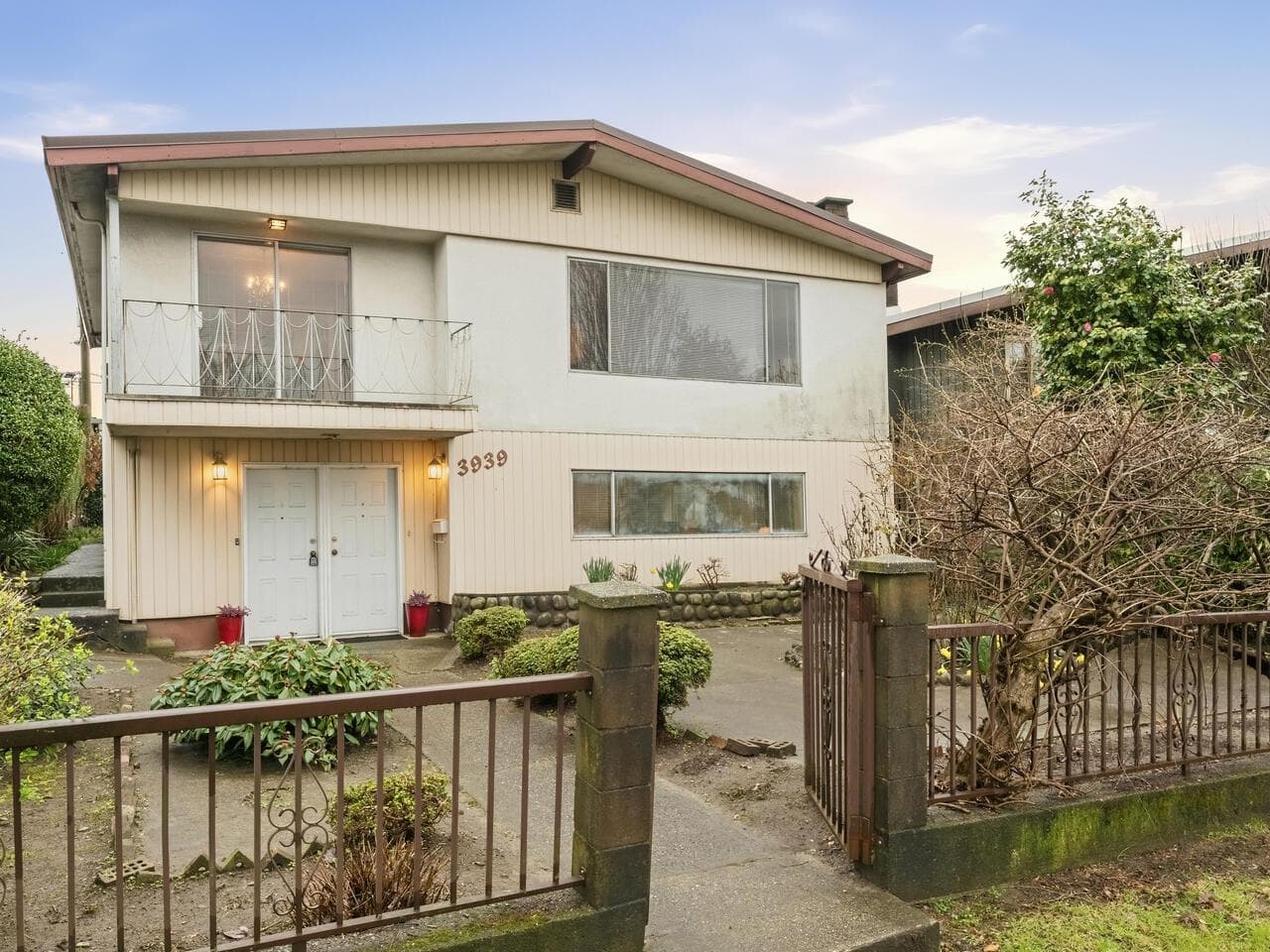
2675 Vanness Avenue is a court-ordered sale offering a strong holding and redevelopment opportunity in Vancouver, B.C. The property sits on a 10,184 SF lot with potential to assemble with neighbouring 2669 Vanness Avenue, creating a combined site of approximately 19,492 SF. Located within a TOD Tier 2 area, the site allows for density up to 4.0 FSR and heights up to 12 storeys, positioning it for future high-density residential development. Each lot includes four rentable units, offering potential holding income of up to approximately $10,000 per month per lot while redevelopment plans are advanced. Seller financing of up to 70% of the purchase price may be available for qualified buyers.
MLS® #
R3180319
Status
Active
Type
Residential
Sub-type
Single Family Residence
Ownership
Freehold NonStrata
Bedrooms
5
Full Baths
4
Half Baths
0
Living Area
3,218 sqft
Main Floor
1,550 sqft
Basement
Yes
Lot Size
10,184 sqft
Lot Dimensions
40 x 254
Frontage
40
Year Built
1993
Age
33 years
Structure
Residential Detached
Parking Stalls
2
Parking Type
Open, Front Access, Lane Access
Taxes
$12,620.5/yr
MLS® Area
Renfrew Heights
City
Vancouver
Postal Code
V5R 2R3
Heating
Forced Air · Natural Gas
Lot Features
Central Location, Lane Access
Coordinates: 49.246614, -123.050579 · Map data © Google
Watch this home
Get an email when the price changes, it sells, or it goes off the market. Sign in or create a free account.
Transit-Oriented Area — Tier 3
~410 m from Nanaimo SkyTrain station
Provincial law requires the city to allow at least 3.0 FAR and 8 storeys for residential here — well above typical single-family zoning. Potential land-assembly interest from developers.
Multiplex potential: on a ~946 m² lot, BC’s small-scale housing law requires the municipality to allow at least 4 units (up to 6 near frequent transit), where it applies.
~410 m straight-line to Nanaimo SkyTrain
Screening estimate from provincial regulations (TOA station points, B.C. Reg. 263/2023 & 265/2023; small-scale multi-unit housing rules). Distances are straight-line; actual TOA maps are set by municipal bylaw and some parcels (heritage, ALR, exempt areas) are excluded. Confirm with the municipality before relying on it.
Not in the Agricultural Land Reserve.
The listing’s flood plain disclosure is available to registered users. Create a free account or sign in.
ALR from the Agricultural Land Commission via DataBC (point check at the listing’s mapped location). Flood plain is the listing brokerage’s disclosure. Confirm both with the municipality and your lawyer.
Source: City of Vancouver Open Data
No permits found for this address in the open data registry.