+35 more
$2,150,000
Listed by: RE/MAX City Realty · MLS®
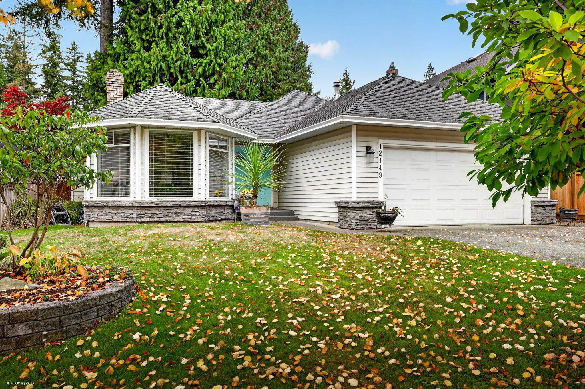
RARE PANORAMA RIDGE OPPORTUNITY! Beautiful 3,686 sq. ft. rancher situated on an impressive 30,400 sq. ft. lot, offering exceptional space, privacy and future potential in one of Surrey's most desirable neighbourhoods. This spacious home features generous living areas and a huge recreation room with a separate bar—an ideal retreat for entertaining family and friends. Enjoy the today, rent and hold as a long-term investment, renovate to suit your lifestyle, or explore the potential to build your dream estate home in the future. Conveniently located close to schools, parks, shopping and everyday amenities, with easy access to Hwy 10, Hwy 99 and King George Blvd. A rare opportunity to secure a substantial Panorama Ridge property with tremendous possibilities and the future!
MLS® #
R3164403
Status
Active
Type
Residential
Sub-type
Single Family Residence
Style
Rancher/Bungalow
Ownership
Freehold NonStrata
Bedrooms
4
Full Baths
2
Half Baths
1
Fireplaces
1
Living Area
3,686 sqft
Main Floor
3,686 sqft
Lot Size
30,492 sqft
Lot Dimensions
111 x
Frontage
111
Year Built
1969
Age
57 years
Structure
Residential Detached
Parking Stalls
0
Garage Spaces
3
Parking Type
Additional Parking, Garage Triple
Taxes
$6,678.39/yr
MLS® Area
Panorama Ridge
City
Surrey
Postal Code
V3X 2X5
Heating
Mixed
Appliances
Washer/Dryer · Dishwasher · Refrigerator · Stove · Microwave
Fireplace
Other
Security
Prewired · Smoke Detector(s) · Fire Sprinkler System
Windows
Window Coverings
Interior Features
Vaulted Ceiling(s)
Coordinates: 49.105740, -122.837390 · Map data © Google
Watch this home
Get an email when the price changes, it sells, or it goes off the market. Sign in or create a free account.
Multiplex potential: on a ~2,833 m² lot, BC’s small-scale housing law requires the municipality to allow at least 4 units (up to 6 near frequent transit), where it applies.
Screening estimate from provincial regulations (TOA station points, B.C. Reg. 263/2023 & 265/2023; small-scale multi-unit housing rules). Distances are straight-line; actual TOA maps are set by municipal bylaw and some parcels (heritage, ALR, exempt areas) are excluded. Confirm with the municipality before relying on it.
Not in the Agricultural Land Reserve.
The listing’s flood plain disclosure is available to registered users. Create a free account or sign in.
ALR from the Agricultural Land Commission via DataBC (point check at the listing’s mapped location). Flood plain is the listing brokerage’s disclosure. Confirm both with the municipality and your lawyer.
Building permit history is currently available for City of Vancouver properties only.