+35 more
$1,648,000
Listed by: RE/MAX LIFESTYLES REALTY · MLS®
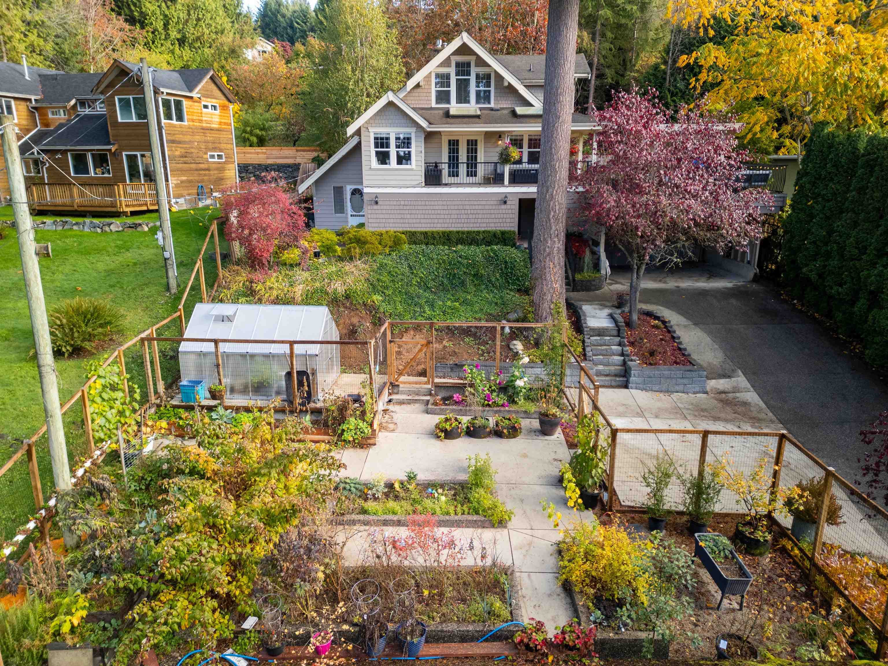
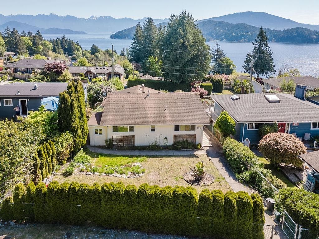
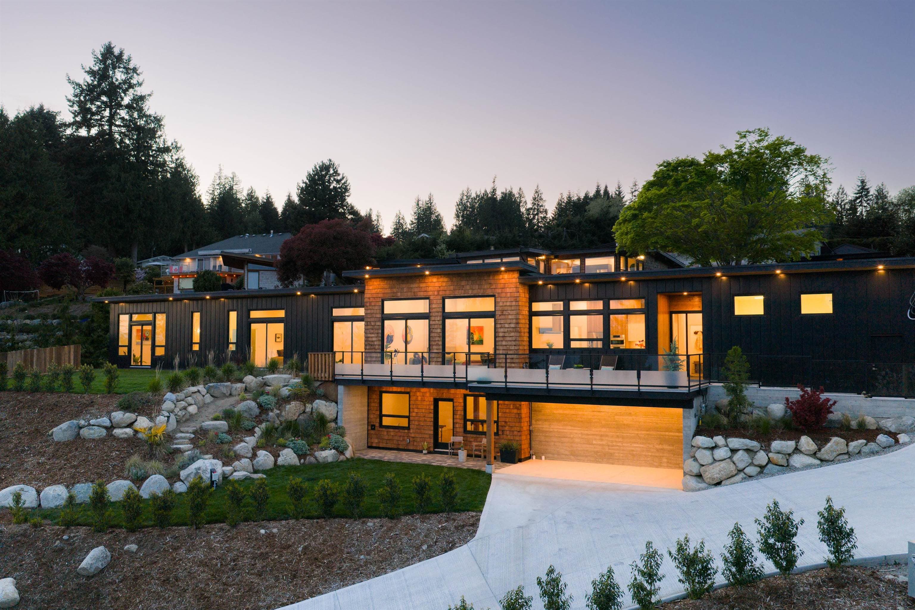
Located in the heart of Gibsons on BC’s scenic Sunshine Coast, 1289 Gower Point Road sits in a quiet, established waterfront neighborhood known for its natural beauty and relaxed, small-town character. The area offers a peaceful, coastal lifestyle just minutes from essential amenities. Residents enjoy easy access to local beaches, forested walking trails, marinas, and artisan shops, while still being close to schools, grocery stores, and healthcare services. Fenced yard. Public transit is conveniently located within a short walk from the property, providing easy connections to the rest of Gibsons and ferry access to Vancouver. The neighborhood is characterized by low-density housing and a strong sense of community, making it especially appealing to families, retirees, and professionals.
MLS® #
R3067481
Status
Active
Type
Residential
Sub-type
Single Family Residence
Ownership
Freehold NonStrata
Bedrooms
3
Full Baths
2
Half Baths
1
Fireplaces
2
Living Area
3,898 sqft
Main Floor
1,425 sqft
Basement
Yes
Lot Size
43,561 sqft
Lot Dimensions
22.84 x
Frontage
22.84
Year Built
1992
Age
34 years
Structure
Residential Detached
Parking Stalls
8
Parking Type
Additional Parking, Front Access, Gravel
Taxes
$9,085.66/yr
MLS® Area
Gibsons & Area
City
Gibsons
Postal Code
V0N 1V3
Subdivision
Gower Point
Heating
Electric · Hot Water · Radiant
Fireplace
Wood Burning
Exterior Features
Private Yard
View
Ocean to Vancouver Island.
Lot Features
Greenbelt, Private
Community
Shopping Nearby
Coordinates: 49.385680, -123.540390 · Map data © Google
Watch this home
Get an email when the price changes, it sells, or it goes off the market. Sign in or create a free account.
Multiplex potential: on a ~4,047 m² lot, BC’s small-scale housing law requires the municipality to allow at least 4 units (up to 6 near frequent transit), where it applies.
Screening estimate from provincial regulations (TOA station points, B.C. Reg. 263/2023 & 265/2023; small-scale multi-unit housing rules). Distances are straight-line; actual TOA maps are set by municipal bylaw and some parcels (heritage, ALR, exempt areas) are excluded. Confirm with the municipality before relying on it.
Not in the Agricultural Land Reserve.
The listing’s flood plain disclosure is available to registered users. Create a free account or sign in.
ALR from the Agricultural Land Commission via DataBC (point check at the listing’s mapped location). Flood plain is the listing brokerage’s disclosure. Confirm both with the municipality and your lawyer.
Building permit history is currently available for City of Vancouver properties only.